TL;DR
The hurricane outlook prints today, but the El Niño tide warning is the one that lands on driveways and Memorial Day boardwalks.
MSM Perspective
CBS News led with the 'double whammy' frame; the NOAA Ocean Service piece is the underlying brief.
X Perspective
X coastal accounts are sharing NOAA's 'double whammy' line — decades of sea-level rise plus a strong El Niño that lifts water onto streets without a storm.
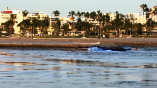
NOAA's Ocean Service warned Saturday that an El Niño expected to emerge by July could turn ordinary high tides into street flooding on both U.S. coasts — even on days with no storm. The piece pairs the agency's tide gauges with the IRI ENSO forecast, which now sets the chance of an El Niño this summer at 82%. [1][2]
The plain-English version: decades of slow sea-level rise have left water already lapping at the top of seawalls in many coastal towns. An El Niño raises ocean levels another few inches by warming and pushing water against the eastern Pacific and the Atlantic seaboard. Add those together and the same lunar high tide that used to wet a parking lot can now flood a sidewalk, a basement, or a Memorial Day boardwalk. NOAA's William Sweet, who anchored the paper's May 20 brief on this, calls El Niño a sea-level-rise multiplier — the second punch, after the first punch of accumulated rise. [3]
The service rail for the holiday weekend: NOAA's tide-prediction tables show the highest tides on the East Coast and Gulf landing Sunday through Tuesday. Florida, the Carolinas, and the central Gulf are the highest-probability flood zones. The Atlantic hurricane outlook prints later today in Lakeland; tides will arrive regardless of that number. [1]
-- DARA OSEI, London
Sources & X Posts
News Sources
X Posts