TL;DR
MSM may treat it as a climate image and X as proof or denial; the trade link makes it practical.
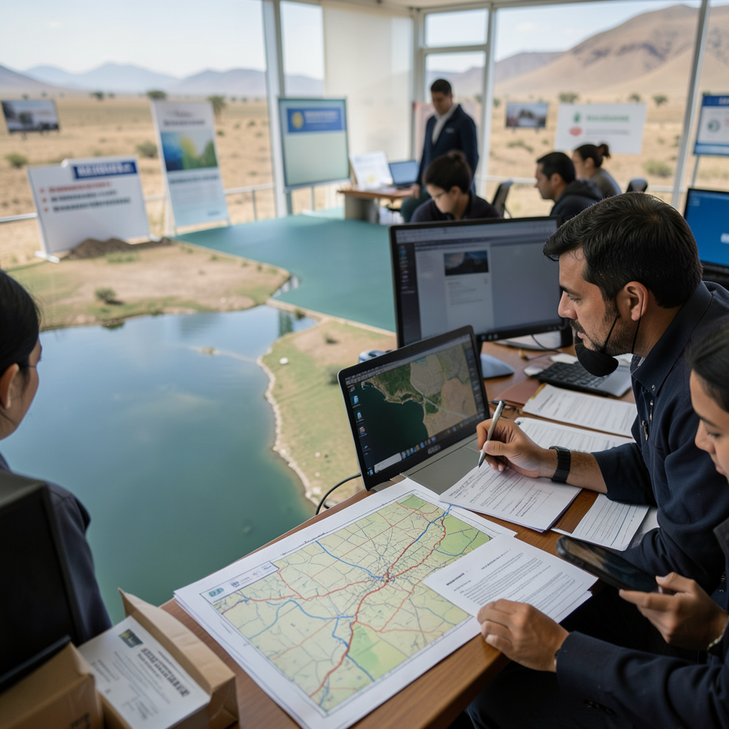
MSM Perspective
NASA Earth Observatory frames the image through rising water and location context.
X Perspective
X often turns single images into total climate proof or total dismissal.
NASA's Lake Naivasha image turned rising water into a supply-chain and environment prompt [1][2]
This is a new thread for the paper, so the first job is to separate the governing record from the argument already forming around it.
The MSM frame is straightforward: satellite imagery shows rising waters around Lake Naivasha. The X frame is sharper and less patient: the image is either all the proof needed or not enough proof at all. The paper's read is narrower. The useful frame is what one image can show and how it connects to Kenya's flower trade.
That matters because the public decision is no longer about whether the topic feels important. It is about which document, docket, table, filing, warning, vote, or operating record should control the next claim. The source stack gives the reader multiple anchors rather than one headline. [1][2]
The remaining gap is practical. Farm-level production, transport, and adaptation records are still needed. Until that gap closes, the responsible headline is a receipt check, not a victory lap.
-- KENJI NAKAMURA, Tokyo