TL;DR
NOAA gives El Nino a 62 percent chance of emerging by summer — and some models suggest it could intensify into a super event by winter, layered on top of a planet already running record temperatures.
MSM Perspective
ABC News reports a one-in-three chance of a strong El Nino event by fall while Newsweek warns a super El Nino could make 2027 the hottest year on record.
X Perspective
Meteorologists on X are debating whether a potential super El Nino in late 2026 could make 2027 the hottest year ever recorded.
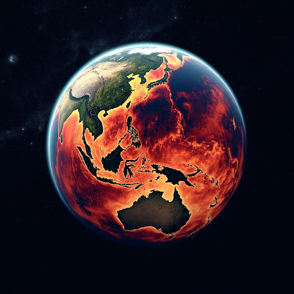
The Pacific Ocean is doing something it has done many times before, but the context in which it is doing it has no precedent. La Nina — the cooler-than-average sea surface temperatures in the equatorial Pacific that have been suppressing global temperatures for the past year — is collapsing. In its place, the Climate Prediction Center at NOAA issued an El Nino Watch on March 12, estimating a 62 percent probability that El Nino conditions will emerge between June and August 2026 and persist through the end of the year. [1]
El Nino, by itself, is not news. The oscillation between El Nino and La Nina has been cycling for millennia, redistributing heat between ocean and atmosphere in patterns that alter weather systems across the planet. What makes the 2026 forecast worth attention is the baseline onto which this El Nino would be layered. The planet is already running at record temperatures. February 2026 was the hottest February ever measured. The heat dome that pushed temperatures to 108 degrees Fahrenheit in parts of the American Southwest earlier this month was not an El Nino event — it occurred during La Nina, the supposedly cooler phase. El Nino adds heat. The question is how much additional warming a planet already at record levels can absorb before the consequences shift from statistical to structural. [1][2]
The Probability Spectrum
NOAA's 62 percent estimate is the headline number, but the range of possible outcomes extends well beyond a moderate event. ABC News reported on March 14 that the probability of a "strong" El Nino — defined as sea surface temperature anomalies exceeding 1.5 degrees Celsius in the Nino 3.4 region — stood at roughly one in three by the October-December window. Meteorologist Ben Noll, posting on X, estimated a 22 percent chance of a "super El Nino" by August, based on model ensemble data that shows some forecasts reaching anomalies above 2.0 degrees Celsius. [2][3]
A super El Nino is not a casual descriptor. The last one, in 2015-2016, contributed to the hottest year on record at the time, triggered devastating droughts in Southeast Asia and southern Africa, bleached coral reefs across the tropics, and disrupted agricultural production on multiple continents. Newsweek reported that if a super El Nino materializes in late 2026 and peaks in early 2027, it could push 2027 past 2024 as the warmest year in the instrumental record. [3]
What El Nino Does
The mechanism is elegant and brutal. During El Nino, weakened trade winds allow warm water that is normally pushed toward the western Pacific to slosh back eastward, raising sea surface temperatures across the central and eastern equatorial Pacific. The warmed ocean surface heats the atmosphere above it. The heated atmosphere alters the jet stream. The altered jet stream reshapes weather patterns across the globe. [1]
For the United States, El Nino typically means wetter winters in the southern tier — California, Texas, Florida — and milder, drier conditions in the northern states. It suppresses Atlantic hurricane formation by increasing wind shear, which tears apart developing storms. It tends to increase Pacific hurricane activity. It amplifies rainfall in Peru and Ecuador. It suppresses the Indian monsoon. It correlates with drought in Australia, Indonesia, and the Philippines. It shifts global agricultural productivity in ways that commodity markets price months in advance. [2]
The Compounding Problem
The danger of the emerging El Nino is not the oscillation itself but the platform from which it launches. Climatologists describe the phenomenon as "El Nino on top of the trend" — a natural warming pulse superimposed on a long-term anthropogenic warming trajectory that has already pushed global temperatures approximately 1.3 degrees Celsius above pre-industrial levels.
During the 2015-2016 super El Nino, the background warming was lower. The planet had less stored heat. Ocean temperatures were cooler. The same magnitude of El Nino occurring in 2026-2027 would produce absolute temperatures that exceed anything in the observational record, because the starting point is higher than it has ever been. [3]
The implications extend beyond temperature records. Coral reefs, many of which have not fully recovered from the 2023-2024 bleaching events, face another potential mass bleaching episode. Agricultural systems in South and Southeast Asia, already stressed by erratic monsoon patterns, would encounter additional disruption. Wildfire risk in Australia and Indonesia — both of which experienced record-breaking fire seasons during the last major El Nino — would increase. [2]
What the Models Show
Climate models are not unanimous. The 62 percent probability reflects substantial uncertainty. Some models show a weak, short-lived El Nino that peaks in late summer and fades by winter. Others show rapid intensification through the fall, reaching super El Nino territory by December. The spread between these scenarios is wide enough that confident prediction is impossible. What is not uncertain is the direction: El Nino is more likely than not, and the distribution of possible outcomes is skewed toward stronger events. [1]
The Pacific does not read forecasts. It stores heat and releases it according to dynamics that oceanographers can describe but not precisely predict. What they can say is that the conditions are assembling. The trade winds are weakening. The warm water is moving east. The Kelvin waves propagating across the subsurface Pacific carry heat that will, if the pattern continues, emerge at the surface in the months ahead.
The planet is warm. It is about to get warmer. The mechanism is ancient. The context is not.
-- KENJI NAKAMURA, Tokyo
Sources & X Posts
News Sources
X Posts