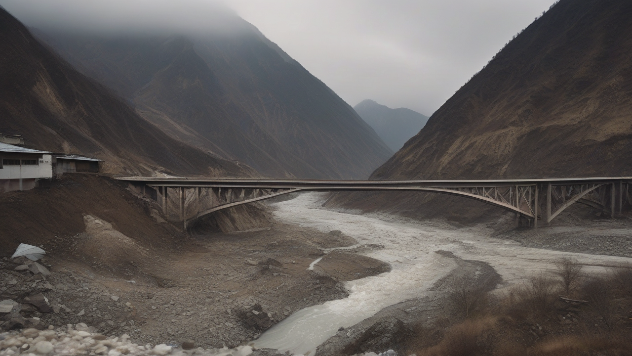
The glacier collapse that tore through Nepal's Bhote Koshi valley Wednesday is the same disaster this paper covered Wednesday as a China-blame story over hydropower construction — not, as an earlier version of that story's angle suggested, a separate event. What is new Thursday is not the flood itself but two scientific assessments published the same day, one confirming the collapse's precise seismic signature and the other arguing the death toll was largely preventable.
Nepal's National Disaster Risk Reduction and Management Authority put the toll Thursday at more than 359 dead in Nepal and China combined, with over a thousand people still missing, including hundreds of tourists from 33 countries. [1] CBS News reported Nepal's police had recovered 162 bodies as of its Thursday update, while Nepal's Tourism Board said 403 people remained unaccounted for, among them 33 Americans, 34 Australians, 24 Canadians, 4 Germans, 19 Malaysians and one Israeli. [2] Chinese state broadcaster CCTV separately reported 558 people missing on the Tibet side of the border, 260 of them foreigners, with three confirmed dead. [2] Secretary of State Marco Rubio posted that the United States "stands ready to support the government of Nepal with needed humanitarian assistance," and the State Department later said it would provide $500,000 in aid through Catholic Relief Services. [2][1] Nepal's President Ramachandra Paudel called on "the government, political parties, agencies and the general public to intensify rescue and relief efforts." [2]
The U.S. Geological Survey's technical finding, which this paper's Wednesday coverage already reported, gained a sharper number Thursday. USGS initially logged the event as a magnitude 4.4 earthquake; further analysis of seismic stations, long-period seismic waves and satellite imagery determined that no earthquake had occurred at all, and that the seismic energy released was instead equivalent to a magnitude 5.2 event generated entirely by a glacial collapse and debris flow. [1][3] Nature's news desk reported Thursday that the ice-and-rock collapse was strong enough to send that seismic signal downstream into the Bhote Koshi river system, where tens of thousands of people live. [3] Columbia University geophysicist Göran Ekström told Nature that satellite imagery from before the collapse showed no major glacial lake forming in the area, and that weather data recorded no unusual rainfall beforehand — evidence against the initial theory that a glacial lake had simply overtopped its banks. [3] University of Colorado Boulder mountain geographer Alton Byers said the glacier that broke off had not been closely studied. "You can't predict these events," he said, adding that "these catastrophic floods are becoming more frequent" as warming destabilizes high-altitude permafrost. [3]
What Wednesday's coverage — this paper's included — did not have was the argument Nature India published Thursday: that this specific disaster had a warning system that could have worked, and didn't. Glaciologist Sudeep Thakuri wrote that satellite images obtained by Nepal's government from China showed an ice landslide had blocked a tributary called the Lhende Khola, forming a temporary dam that later burst and sent a high-energy surge downstream with little warning. [4] Thakuri noted this is the second major flood in fourteen months on the same tributary system — a July 2025 event on a related channel washed away the Nepal-China friendship bridge and killed at least nine people — meaning the hazard was not unknown to authorities even if this specific ice mass was unmonitored. [4] Downstream communities in the Hindu Kush Himalaya can have as little as five to thirty minutes of warning before a flood wave arrives, Thakuri wrote, "too short for evacuation without automated detection and alert systems." More than 200 glacial lakes across the Himalaya are already classified as very high risk, but Thakuri's central point is that smaller, unmonitored ice masses like the one that broke off Wednesday pose a threat current monitoring networks simply don't cover. [4]
The damage tally released Thursday underscores what a working warning system would have needed to protect. Fifteen hydropower and transmission facilities were damaged, including the 216-megawatt Upper Trishuli-1 plant, the 60-megawatt Trishuli-3A plant and the 37-megawatt Trishuli-3B substation; 35 motorable bridges, 45 suspension bridges and a 40-kilometer stretch of road were washed away. [1] Water levels on the Trishuli River, downstream of the Bhote Koshi, rose as much as 9 meters in 30 minutes at one monitoring point, according to a statement from the International Centre for Integrated Mountain Development cited in Thakuri's analysis. [1] Thakuri's prescription is specifically about closing the cross-border gap that let this hazard go unwatched: formal data-sharing between Nepal and China on glacier and slope instability, satellite monitoring extended beyond known glacial lakes to cover ice-rock slopes like the one that failed Wednesday, and land-use planning that accounts for current glacier-loss rates rather than historical flood lines. [4]
That preventability argument is the piece of Thursday's coverage that has not reached the Western press framing this disaster primarily around the rising toll and the missing foreign tourists. CBS's Thursday update runs the story as a rescue operation, quoting International Red Cross Nepal delegation head David Fisher describing entire villages that "have disappeared." [2] Rubio's post, and most U.S. coverage built around it, treats the disaster as a humanitarian-response story — aid pledged, embassy support offered, nothing said about the monitoring gap Nature India's scientists are now naming publicly the same week. The distinction matters because Thakuri's argument, if it holds, means the next disaster on this stretch of border — and there has already been one in the past fourteen months — is not a surprise the science has no answer for. It is a warning system nobody has yet built.
-- PRIYA SHARMA, Delhi